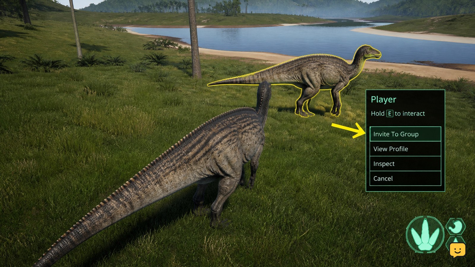
To fix The Isle Legacy map coordinates not working, first confirm that you are using a Legacy map for the correct island and map version, not an Evrima map. Copy the coordinate pair exactly, check whether the tool expects X/Y or latitude/longitude order, then verify the plotted point against your compass and two visible landmarks. Stop using the result if those checks disagree.
Check Legacy versus Evrima first
The most common mismatch is using an Evrima reference while playing Legacy. These branches do not share every map, landmark, interface behavior, or coordinate convention. A map page that mentions Gateway or another current Evrima location is not a reliable reference for a Legacy server.
Open the server list or server information and confirm the branch and island. Then check the map title, update information, and named locations before entering coordinates. Do not continue until the game and map clearly refer to the same branch and island.
Understand what the coordinate pair means
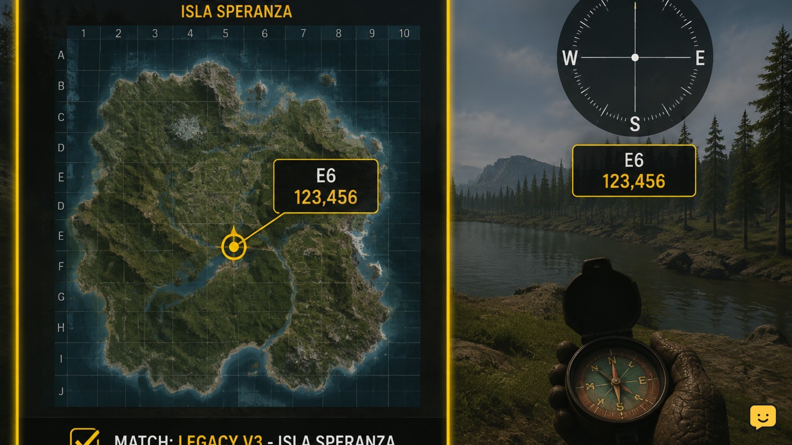
Coordinates are not automatically universal. A map tool may display an ordered pair such as X/Y, while another may use latitude/longitude, grid references, or a copied game string. The first and second values may also represent different axes depending on the tool.
Read the map’s input labels instead of guessing from the numbers. Preserve minus signs, decimal points, spaces, separators, and the order of the values. Do not add compass letters or convert the numbers unless the map specifically asks for that format.
Reports from The Isle community indicate that coordinate text copied from the game has changed format over time. That report concerns compatibility with third-party tools and is especially relevant when an older map accepts the text but plots nothing. Treat pasted text as a format problem until a manual test proves otherwise.
Enter coordinates without changing them
Use this controlled test:
- Copy the coordinates from the game or trusted source once.
- Paste them into a plain text field so you can see the complete string.
- Remove labels, brackets, chat text, and extra words only if the map input requires numbers alone.
- Enter each value into the field named by the map, keeping the original order.
- Apply or search the location, then wait for the marker to finish loading.
If the tool rejects the entry, test the same values manually rather than repeatedly pasting. If the tool accepts the entry but places the marker in an implausible location, the branch, island, axis order, or map orientation is probably wrong.
Match the map version and island
Legacy references can cover different islands and older map layouts. A Steam Community map guide lists support for Legacy maps including Spiro, Thenyaw, and V3, which means the island selection matters before the coordinate is useful. A valid pair for one island can appear incorrect on another.
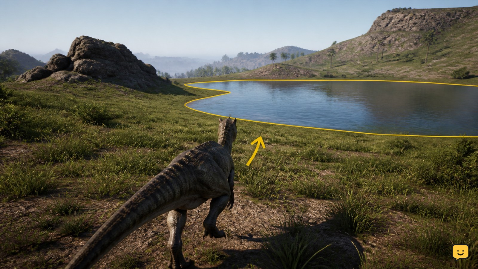
Compare at least three labels or major features between the map and the game. Look for a coastline shape, a large lake or river, a settlement, a road junction, or another distinctive landmark shown by both references. If the shapes do not match, change the map before changing the coordinates.
Use the compass to correct orientation
Do not rotate the external map to match the direction your dinosaur is facing unless the map instructs you to do so. Most navigation maps are read with north fixed at the top, while your in-game view changes as you turn.
- Face a clear direction and read the compass.
- Compare that direction with the map’s north arrow or grid.
- Walk a short distance in a straight line.
- Check whether the map marker moves in the same direction as your in-game movement.
If north appears reversed, east and west appear swapped, or movement goes diagonally from the expected point, the map may use a different orientation or coordinate axis. Do not navigate from that marker until corrected.
Confirm the result with landmarks
A coordinate is reliable only after a physical check. From the plotted point, identify two nearby landmarks and compare their direction and approximate distance with what you can see in-game. Use the coastline, a river bend, a cliff, a road, or a named location rather than a small tree or rock that may be hard to identify.
Move toward one landmark for a short, safe test. If it becomes closer in the expected direction, repeat the check with the second landmark. If both checks agree, the marker is usable. If either check fails, return to the branch, island, format, and orientation checks.
Fix common Legacy map mismatches
The marker does not appear: check for unsupported pasted text, hidden labels, commas in the wrong place, or a map input that requires separate values.
The marker appears far away: verify X/Y order, map orientation, and island selection. Reversing the pair can produce a valid-looking but incorrect point.
The location is outside the island: the map may use a different coordinate scale, an outdated island layout, or the wrong branch. Stop and replace the reference.
Other players give different coordinates: ask which island, branch, map tool, and coordinate format they used. “Legacy coordinates” alone is not enough information to compare results.
The map worked before: retest with a known landmark. A tool update, changed copied format, or server map change can break an older workflow without changing your controls.
Verify navigation before committing to the route
Before leaving a safe area, record the coordinate source and map name, then make one short route toward a recognizable landmark. Check the compass after turning, crossing a river, or entering dense terrain. The map should agree with your movement and the surrounding geography.
Verification is complete when the branch and island match, the coordinate format is accepted, the marker is on land, and two landmarks confirm the position. If any one of those checks fails, use landmarks and compass headings instead of the unverified coordinate.
Frequently asked questions
Do The Isle Legacy and Evrima use the same map coordinates?
No. Treat Legacy and Evrima as separate navigation references. Their maps, islands, layouts, and coordinate-tool compatibility can differ. Confirm the server branch and island before entering any numbers.
Why does a Legacy coordinate show the wrong location?
The usual causes are the wrong island, reversed coordinate order, a different map orientation, or a map tool using another coordinate scale. Compare the marker with a coastline and one additional landmark before trusting it.
Can I paste The Isle coordinates into any map?
No. A map may require separate numeric fields, while copied game text may include labels or a newer format. Check the map’s input instructions and manually separate the values when required.
What should I do when the coordinate marker does not appear?
Confirm that the map supports your Legacy island, remove unsupported labels or brackets, and enter the values in the requested order. If the tool still rejects them, use a compatible map or navigate by compass and landmarks.
How can I verify that a Legacy coordinate is accurate?
Check the branch and island, confirm the marker is on land, then compare its position with two visible landmarks. Walk a short distance toward one landmark and make sure the direction matches the map.